For the first time, scientists have managed to drill a borehole beneath the Thwaites Glacier in western Antarctica to study the water that lies beneath it.
Around January 29, 2026, a landmark joint expedition by the British Antarctic Survey (BAS) and the Korea Polar Research Institute (KOPRI) achieved a significant milestone by drilling 1,000 meters into the Thwaites Glacier. Known colloquially as the "Doomsday Glacier," this massive ice formation is located along the Walling Coast in Marie Byrd Land. It holds the title of the world's widest glacier, stretching across 120 kilometers with a drainage basin encompassing 192,000 square kilometers. This ambitious operation seeks to uncover the underlying mechanisms of accelerated melting, which is largely driven by the intrusion of warm ocean water into its most fragile zones.
Dr. Peter Davis explains why this is so important, live from his tent on the glacier.
The mission's primary strategy involves using a high-pressure hot water drill to access the grounding line—the vital boundary where the glacier transitions from resting on the seafloor to floating on the ocean. It is at this precise location that the relatively warm waters of the Amundsen Sea circulate under the ice shelf, facilitating rapid erosion from below. Experts warn that the complete disintegration of Thwaites could lead to a catastrophic 65-centimeter rise in global sea levels. Peter Davis, a physical oceanographer at BAS, emphasized that the mission will yield the first direct, long-term observations of oceanic currents and temperatures at this critical interface, providing data that is indispensable for forecasting future sea-level changes.
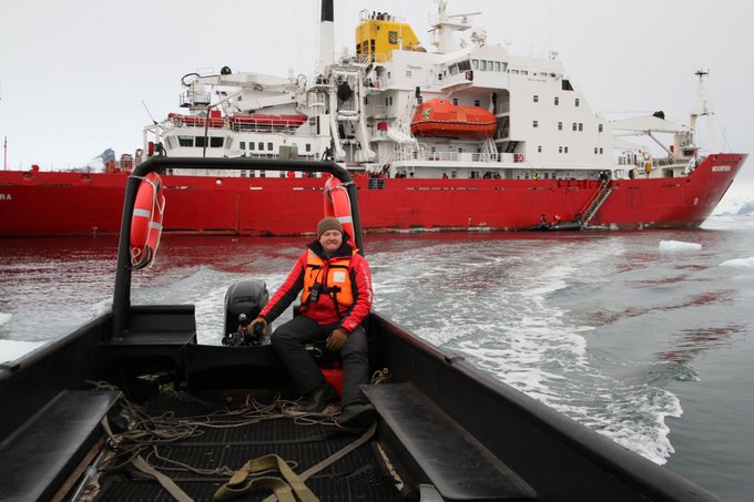
Executing such a complex mission required a massive logistical effort, starting with a 12-day voyage from New Zealand on the South Korean icebreaker RV Araon. Once at the site, the team had to move 25 tons of specialized equipment and personnel onto the ice using more than 40 helicopter sorties, illustrating the harsh realities of field research in the Antarctic interior. This two-week drilling phase is part of the broader International Thwaites Glacier Collaboration (ITGC), an initiative funded by the UK’s Natural Environment Research Council (NERC) and the U.S. National Science Foundation (NSF).
Once the sensors are in place, the gathered data will be beamed back to researchers via Iridium satellites in near real-time for at least a full year. This continuous stream of information is crucial for refining climate models, particularly as the Thwaites Glacier already contributes approximately 4% to the global rise in sea levels, with its rate of ice loss having doubled since the 1990s. Dr. Won Sang Lee, the lead researcher from KOPRI, characterized the project as a prime example of "polar science in extreme conditions." By obtaining direct measurements of water dynamics at the grounding line, scientists hope to finally understand how oceanic forces dictate the glacier's fate, a discovery that remains essential for global climate preparedness.