
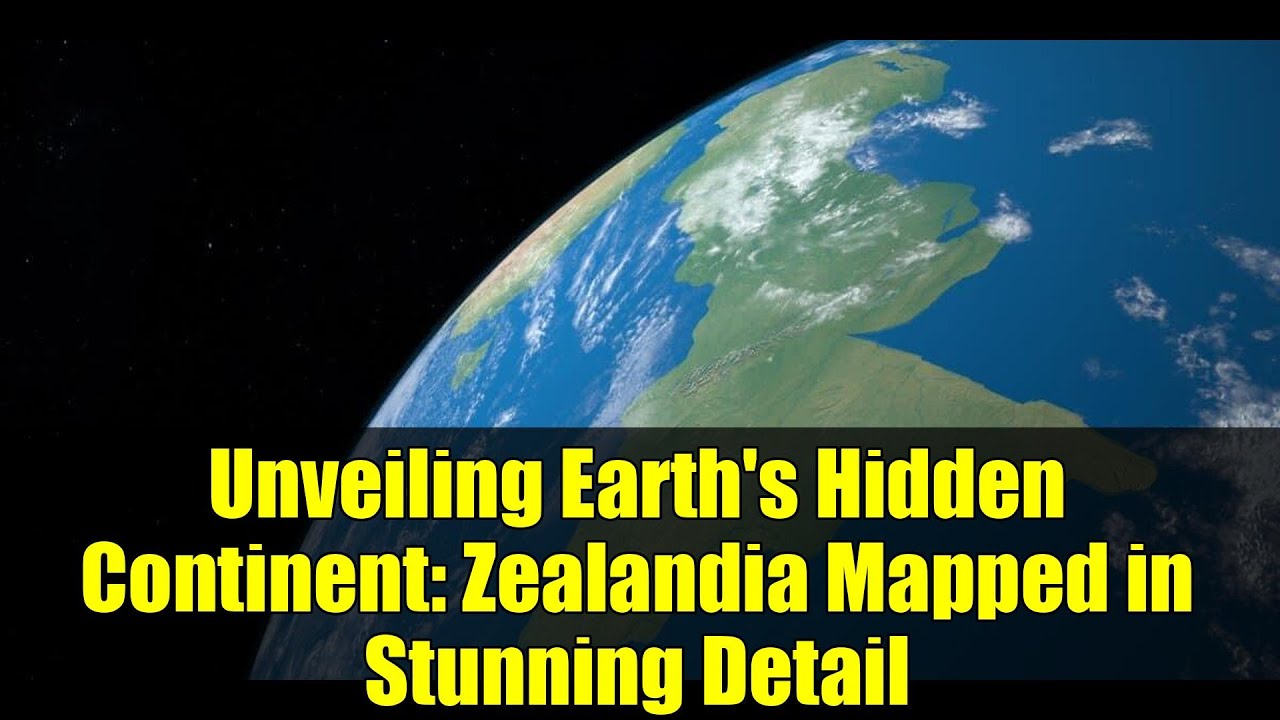
Zealandia Fully Mapped, Revealing Ancient Geological Connections
Edited by: Svetlana Velgush
Scientists have completed the comprehensive mapping of Zealandia, Earth's submerged continent, uncovering its extensive geological features and ancient connections. This mapping effort provides a clearer understanding of Zealandia's geological history and its relationship with other landmasses.
Zealandia, predominantly submerged beneath the Pacific Ocean, has been a subject of scientific interest due to its unique geological characteristics. The recent mapping has revealed significant geological features, including a giant volcanic region that ignited along the edge of the Gondwana supercontinent between 100 and 60 million years ago. This discovery highlights the role of magma in the breakup of Gondwana and the formation of Zealandia.
Additionally, the mapping has identified an ancient granite backbone, known as the Median Batholith, which extends across Zealandia. This granite belt provides insights into the continent's formation and its tectonic history. The study also uncovered a 1-billion-year-old piece of the supercontinent Rodinia beneath Zealandia, placing the continent within the broader context of Earth's geological evolution.
These findings not only enhance our understanding of Zealandia's geological history but also offer valuable information for future research into natural hazards, resource exploration, and environmental studies in the region.
44 Views
Sources
cianjur.viva.co.id
Kompas.com
BBC News Indonesia
Liputan6.com
Read more news on this topic:


Did you find an error or inaccuracy?We will consider your comments as soon as possible.